
Digging into the Facts About How Hi-Lo Benefits East Central Georgia
Even the strongest supporters can get lost in the details of large projects like the Georgia Hi-Lo Trail. Let’s dig into the facts about the plan to build the Hi-Lo Trail.
What is Georgia Hi-Lo Trail?
Georgia Hi-Lo Trail Inc. is the 501c(3) nonprofit dedicated to building the Georgia Hi-Lo Trail. When complete the Georgia Hi-Lo Trail will be a 211-mile, multiuse trail.
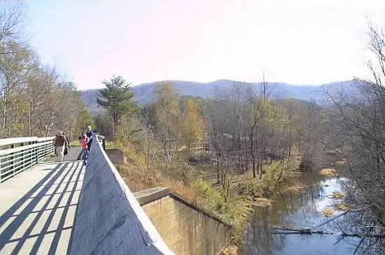
Like Georgia’s Silver Comet Trail pictured here, the Hi-Lo will connect pedestrians and cyclists to communities and points of interest along the trail.

Why is the Georgia Hi-Lo mission important?
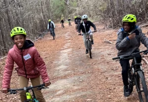
When complete, the trail will connect an 8-county area through rural Georgia, empowering the communities along the path through economic, health, and social benefits.
- Trails connect pedestrians and cyclists to key destinations.
- Trails offer opportunities to enjoy the outdoor spaces.
- Trails welcome all ages and physical abilities.
- Trails spur interest and reward exploration.
- Trails encourage future generations to stay in rural communities.
- Trails boost tourism and retail spending.
- Trails drive revitalization and generate economic development.
- Trails bring people together – locals and visitors, friends and relatives, and children with fresh experiences.

Who benefits from Georgia Hi-Lo Trail?
The Georgia Hi-Lo Trail will benefit the entire region and beyond, with direct impacts across the 8-county area the trail touches. Trails like the Hi-Lo have been proven to drive retail, generate economic development, and improve health and quality of life for residents.
The Chief Ladiga Trail, pictured here, connects to Silver Comet Trail as it crosses into Alabama. The 39.5 mile trail has had a noticeable impact on the region, driving tourism and generating $2.2 million in economic impact to rural Calhoun County.
Where will Geogia Hi-Lo be located?
Beginning in Union Point, the Georgia Hi-Lo Trail will connect to the southernmost terminus of the Firefly Trail. From there, the Hi-Lo will continue for 211 miles and across 8 counties. The path through rural Georgia will cross the Piedmont region, through rolling hills and timberlands, continue across the coastal plain and over marshes before ending at Tybee Island and the Atlantic Ocean.
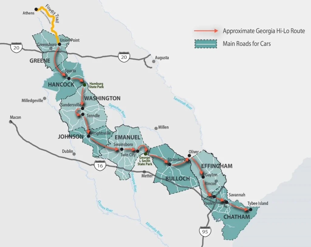
The Georgia Hi-Lo Trail is directly inspired by the Firefly Trail. A paved trail, aligned mainly along an abandoned branch of the Georgia Railroad and running 39-miles from downtown Athens through communities in Clarke, Oglethorpe, and Greene counties before ending in Union Point.
Connecting to the Firefly Trail in Union Point, the Hi-Lo will run through Greene, Hancock, Washington, Johnson, Emanuel, Bulloch, Effingham, and Chatham Counties.
For more details, check out the Georgia Hi-Lo Trail Plan